Founded in 2008, M-III, PLLC is a full-service Geomatics firm, located in Raleigh, North Carolina, currently serving a varied array of private and public sector clients throughout North Carolina. With over 60 years of combined experience, the two principals at M-III have established a proven and respected reputation in the industry. Our approach to all projects is simplistic, yet tried and true ...understand the clients needs, develop an approach, then deliver a quality product, on schedule and within budget. Proof...... a long list of repeat clients encompassing the gamut of national, regional and local architects, consulting engineers, developers. environmental scientists, contractors, local/international airports and city/county/state municipalities.
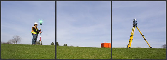
Our approach to project completion ......again simplistic, yet tried and true.....put state-of-the-art survey equipment and computer technology, both in the field and office, in the hands of the experienced staff and they consistently deliver accurate products, on schedule and within budget.
Our approach to project completion ......again simplistic, yet tried and true.....put state-of-the-art survey equipment and computer technology, both in the field and office, in the hands of the experienced staff and they consistently deliver accurate products, on schedule and within budget.
Management Team

Mark W. Yarbrough, PLS
Principal & Geomatics Manager
Mark's role at M-III is marketing, project and office management. Mark brings more than 30 years of surveying experience to M-III and has managed a vast range of projects and clients during his career. Mark's management approach has always been simple, put the clients’ needs first, with quality as a priority, including a resume of satisfied repeat clients that include the North Carolina Department of Transportation, statewide city and county municipalities, private and public airports, the U.S. Army Corps of Engineers, land developers, consulting engineers, architects, aerial photogrammetrists, contractors, environmental scientists, educational entities and the general public.
Mark is an active member in the community, coaching youth baseball, basketball and football. He is currently serving on the Wake Technical Community College's Advisory Committee for Engineering and Land Surveying. He is also an active member of the North Carolina Society of Surveyors, the National Society of Professional Surveyors and the American Society of Highway Engineers. Contact Mark at myarbrough@m-iii.com.

Randy D. Mason, PLS
Principal & Technical Geomatics Manager
Randy serves as principal and technical geomatics manager for M-III and has over 25 years of surveying experience. Prior to working with M-III, Randy held a management role at a Raleigh area engineering and surveying firm managing varied development projects. His responsibilities included keeping technical and field staff trained with the latest CAD software and field survey equipment. Other duties included platting, field crew coordination, stakeout generation, daily file processing and QA/QC, ensuring that all deliverables were produced to the clients' standards, within budget and on schedule.
Randy has a broad portfolio of engineering design survey projects , including subdivision design and platting, and 3-dimensional model productions for GPS machine-controlled grading equipment. He also has additional experience with large scale, multi-year land development projects consisting of boundary, topographic and subdivision surveys, residential and commercial construction site and building staking, right of way and easement plat/exhibit preparation and utility and BMP as-built surveys. Randy received his professional land surveyor license in 2005 and is a active member of the North Carolina Society of Surveyors. Contact Randy at rmason@m-iii.com.
A simple, yet true testament to M-III’s commitment to performance and professionalism – formed in November 2008 at the onset of the recent recession, M-III has a shown a consistent and sustained growth from a single professional to multiple Professional Land Surveyors, multiple field crews and the associated support staff.